 Eng
Eng English

GIS
Geographic Information System
AIGEMSTEK supports a diverse range of industries and organizations with specialized geo- spatial information services and spatial solutions. The Company provides innovative solutions to land- related surveying. We use sophisticated equipment in the most remote regions and in populated cities; serving clientele ranging from Irrigation Department to Urban Infrastructure Management Authorities.
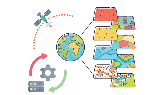
Our GIS services allow for the visualization of geographic data, analysis of spatial relationships, and efficient data management. GIS data conversions allow data from different sources to be merged in one common format, which allows for easy access, analysis and utilization.
Features
What We Provide:
- GIS Mapping Service
- Remote Sensing & Data creation
- Customization of GIS applications
- Geo-referencing & Geo Database Design
- Satellite image correction
- Image enhancement & Image Processing
- Roadway, Railway, Pipeline, Tunnel, Power line Design & Survey
- Topological, Cadastral, Utility Survey and Structure Marking.
- 2D and 3D Modeling
- 3D Photogrammetry
- Mapping & Geo Tagging
- Data digitization & Data conversion
Comprehensive Spatial Analysis
Our GIS mapping service includes advanced spatial analysis
techniques to uncover patterns, relationships, and insights within geographic data, enabling
informed decision-making.
Customized Mapping Solutions
We offer tailored GIS mapping solutions to meet your specific
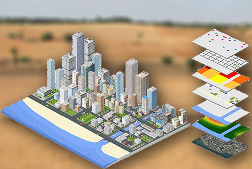
needs, whether it's creating thematic maps, overlaying multiple data layers, or visualizing
spatial trends.
Data Integration and Visualization
Our expertise lies in integrating diverse datasets from various
sources, cleaning and preprocessing the data, and presenting it through visually engaging
maps that effectively communicate information.
Accurate Georeferencing
With precise georeferencing techniques, we ensure that maps are
accurately aligned with real-world geographic coordinates, enabling seamless integration
with other geospatial datasets.
Interactive Web and Mobile Applications
We develop interactive web and mobile applications that
leverage GIS mapping capabilities, allowing users to explore and interact with spatial data,
query information, and make data-driven decisions on the go.
Data Quality Assurance
Our GIS mapping service includes rigorous data quality
assurance processes, ensuring the accuracy, completeness, and reliability of the map data to
provide you with reliable and trusted results.
Spatial Insights for Planning and Analysis
By harnessing the power of GIS mapping, we provide spatial
insights for urban planning, resource allocation, market analysis, environmental management,
and other strategic decision-making processes.
Ongoing Support and Updates
We provide continuous support, updates, and maintenance for
your GIS mapping services, ensuring that your maps stay current and aligned with the
evolving needs of your organization.
Comprehensive Data Collection
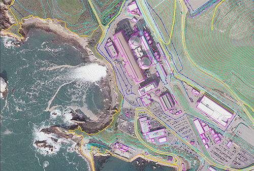
We employ various data collection methods, including satellite
imagery, aerial surveys, GPS data, and field surveys, to gather accurate and up-to-date
geospatial information.
Data Integration and Fusion
Our expertise lies in integrating diverse datasets from multiple
sources, such as imagery, topographic maps, demographic data, and sensor data, to create
comprehensive and reliable GIS databases.
Data Cleaning and Preprocessing
We ensure the quality and integrity of GIS data by performing
thorough cleaning and preprocessing tasks, including removing duplicates, correcting errors,
standardizing formats, and addressing data gaps.
Georeferencing and Projection
Our team applies georeferencing techniques to align data
accurately with geographic coordinates and projections, ensuring seamless integration and
interoperability with other datasets.
Spatial Analysis and Modeling
We employ advanced spatial analysis techniques and modeling tools
to extract meaningful insights, identify spatial patterns, and derive valuable information
from the collected data.
Data Validation and Quality Assurance
Rigorous validation processes are implemented to verify the
accuracy, completeness, and consistency of the GIS data, ensuring high-quality outputs for
decision-making and analysis.
Metadata Management
We develop comprehensive metadata for the collected GIS data,
documenting information about data sources, attributes, accuracy, and other essential details,
facilitating data sharing and usability.
Scalable and Efficient Processing
Leveraging advanced tools and technologies, we optimize data
processing workflows to handle large volumes of data efficiently, ensuring timely delivery of
results for time-sensitive projects.
High-resolution Aerial Imaging
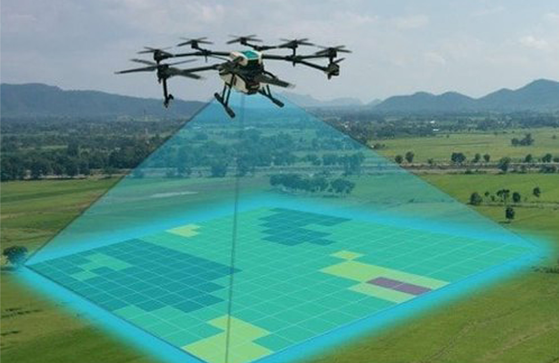
We utilize state-of-the-art aerial imaging technologies, such as
drones or aircraft-mounted sensors, to capture high-resolution imagery of large areas for
detailed inspection and survey purposes.
Asset Inspection and Monitoring
Our Aerial Inspection and GIS Survey services enable efficient
inspection and monitoring of assets such as infrastructure, utilities, buildings, and
environmental features, providing valuable insights for maintenance, planning, and risk
assessment.
Geographic Data Capture
We collect geospatial data during aerial inspections, capturing
accurate location information, attributes, and spatial relationships, which are essential for
creating detailed GIS datasets.
3D Modeling and Visualization
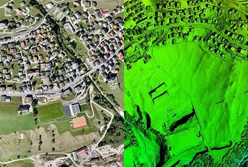
Through the integration of aerial imagery and GIS data, we create
3D models and visualizations that allow for enhanced understanding, analysis, and
communication of spatial information.
Data Analysis and Interpretation
Our team applies advanced GIS techniques and spatial analysis to
extract meaningful insights from the captured aerial data, facilitating informed
decision-making and efficient resource allocation.
Environmental Monitoring and Assessment
We provide aerial inspection and GIS survey services for
environmental monitoring, assessing land cover, vegetation health, ecological changes, and
identifying potential environmental risks.
Infrastructure Planning and Management
With our services, you can efficiently plan, design, and manage
infrastructure projects by leveraging accurate geospatial data and conducting comprehensive
GIS surveys for informed decision-making.
Customized Solutions
We offer tailored solutions to meet specific project
requirements, including customized flight planning, data processing, and analysis, ensuring
that our Aerial Inspection and GIS Survey services align with your unique needs.
Experience
Our Expertise:
Land survey & Digital door numbering.
Physical land surveying,
Drone based land surveying.
Geotagging of locations.
Geo-fencing for properties.
Geotagging for living houses
& generating Digital Door Numbers.
Geo-mapping.



Geospatial & Weather AI.
Our proprietary platforms
are tailored to help businesses and governments optimise performance by providing better forecasting
and risk management.
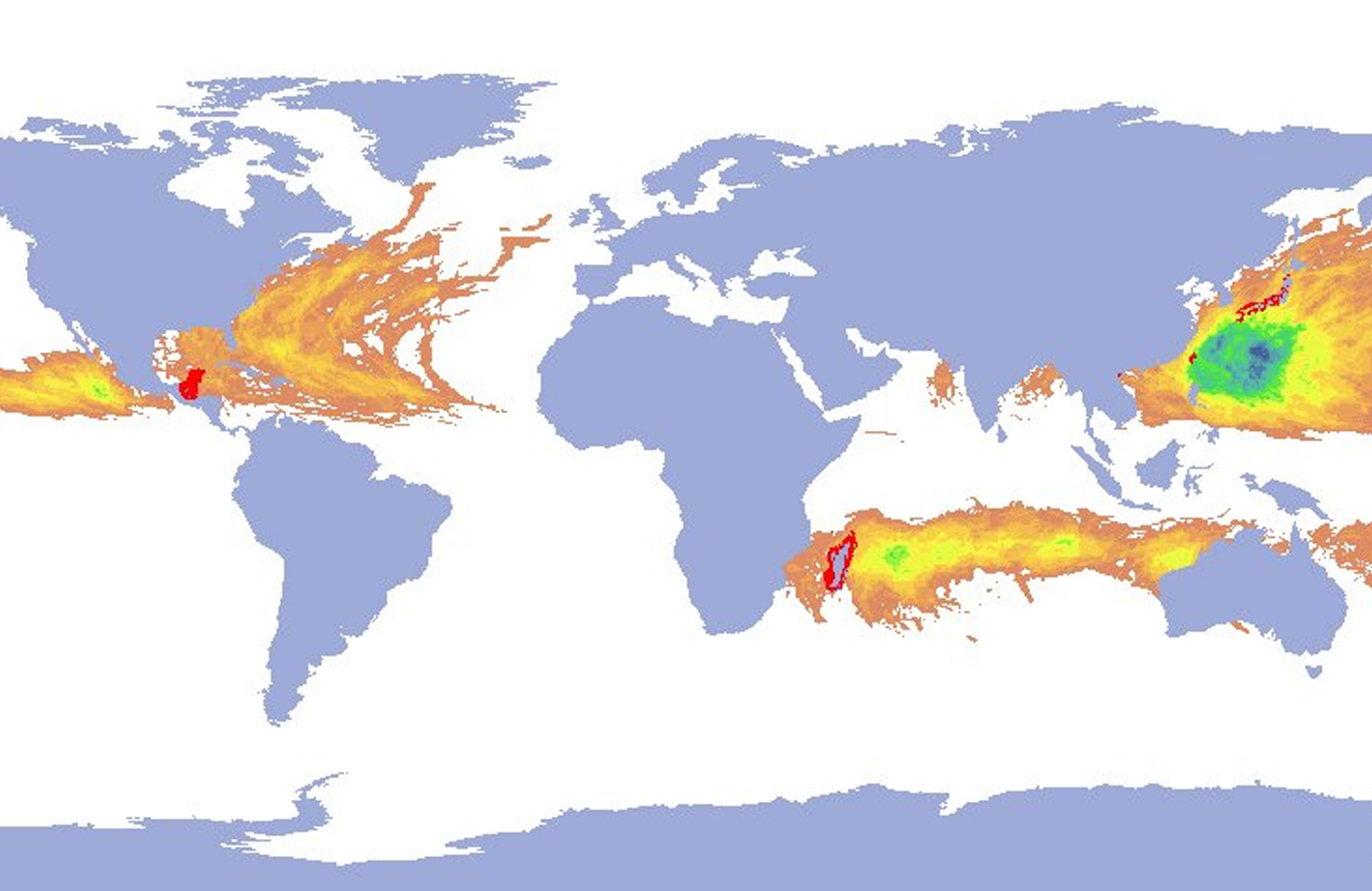
Early Warning Systems.
Our proprietary platforms
help businesses and governments identify extreme weather conditions, life-threatening or illegal
activities so they can manage risk.



Services


